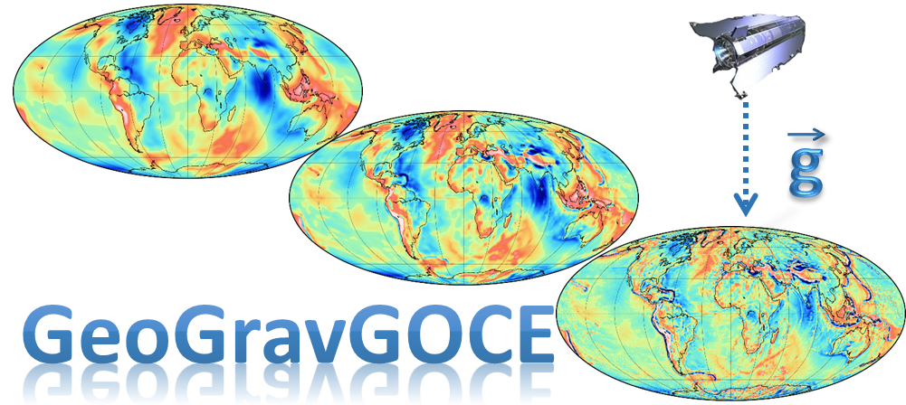
GeoGravGOCE Project
 Monitoring the Earth’s
gravity field both over marine and continental regions has been the focus of extensive geodetic research for the past decades, but
has gained increased importance during the last years due to the recent gravity-field dedicated satellite missions. With the missions of CHAMP and GRACE
setting the path, ESA’s GOCE mission has offered breakthrough opportunities for improved insights into the Earth’s gravity field and geoid. Additionally,
the synergistic use of geodetic, oceanographic and earth observation data contributed to other geo-scientific areas as well. The key contribution of the
GOCE mission has been in its unprecedented representation of the Earth’s geoid, hence contributing significantly to the synergy of geodesy with the rest
of the Earth sciences, like geology, geodynamics, hydrology and oceanography. All related studies thus far rely either on the exploitation of GOCE SGG
data in their original Gradiometric Reference Frame at satellite altitude, which after proper processing are provided in the form of spherical harmonics
expansions of the Earth’s potential. This is known in geodesy as spherical harmonic analysis (SHA) and provides to the scientific community harmonic
coefficients derived from GOCE and other satellite and terrestrial data, up to some specific degree of model expansion. The power
of GOCE-based GGMs stems from the fact that the entire processing of GOCE SGG data and the respective filtering is done through the SHA, hence the
provided field and gravity functionals are already processed. The user in that case can apply spherical harmonic synthesis (SHS) of the coefficients,
which is trivial to the geodetic community, to get GOCE-only functionals of the Earth’s potential.
The other possibility attempted in the literature so far, refers to the preparation of GOCE SGG grids at some very high altitude (around 250 km), where the
respective processing is done by Least Squares Collocation (LSC). In this latter case, the filtering performed to the
inherently noisy SGG data is performed with classic spatial and digital filters. In both of the aforementioned approaches, only the vertical gradients Vzz of
the potential measured by the satellite are used, while their final product is over-smoothed without attention to local details depicted in the raw satellite
data. This is normal, as both GGMs and grids at a specific altitude are dedicated for global use, i.e., they provide an optimal, in terms of gravity field
representation, picture of the Earth’s potential for the entire globe. read more
GeoGravGOCE is funded by (HFRI) within its Call for Research Projects for Research and Academic Staff (HFRI/Staff) following a successful application to the General Secretariat for Research & Technology (GSRT).
For more information on GeoGravGOCE, its objectives, workflow, and main findings please browse through the rest of the site. Please note that the Partners Corner is only accessible for registered users, i.e., the project team and ESA PRODEX representatives.
GeoGravGOCE Latest news
24.01.2020: The GeoGravGOCE Project Brochure.
24.01.2020: The GeoGravGOCE web-page has been launched.
More (News, Conference Presentations and Papers)
GeoGravGOCE Newsletter
The GeoGravGOCE semi-annual newsletters will be shortly available here.
